 U-Solutions
Overview
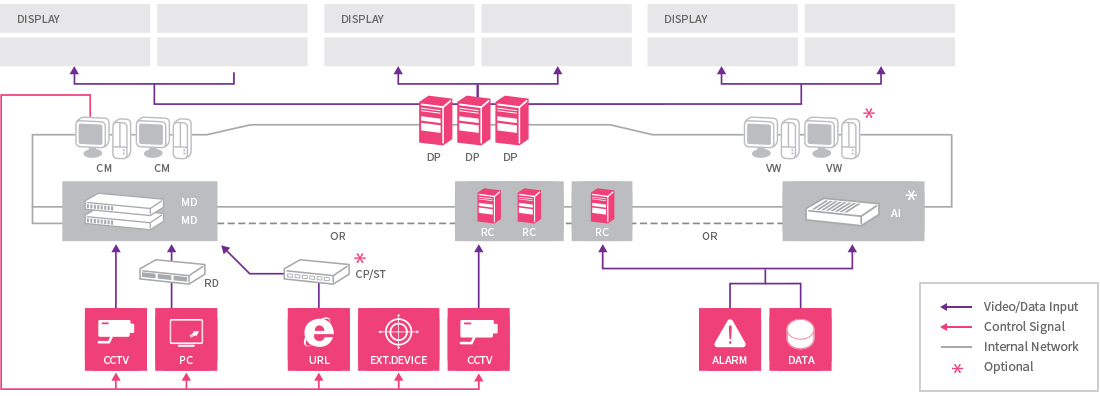
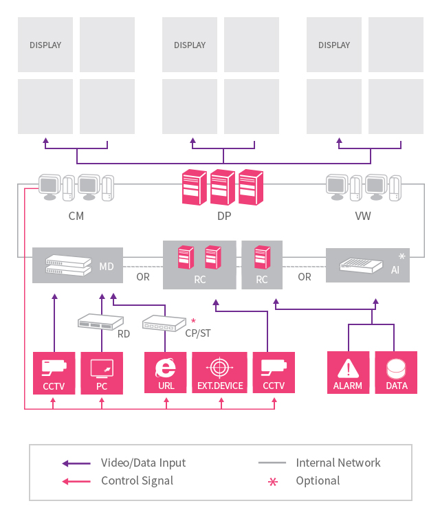
System Diagram
INNOWATCH is a total solution for situation rooms which displays every element necessary for control on a bulletin board and provides an intuitive integrated control environment with storage.
INNOWATCH Components
| Component | Function | |
|---|---|---|
 CM |
Integrated operation and control of the bulletin board |
|
 DP |
Displaying of collected CCTV camera and desktop screens on the bulletin board |
|
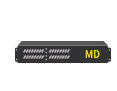 MD |
Transmission and distribution of image sources |
|
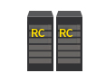 RC |
Storage and distribution of image sources |
|
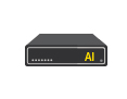 AI |
Camera control (PTZ) and DB storage |
|
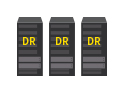 DR |
Re-indexing of stored images and management of alarm history |
|
 VW |
Remote monitoring separately from CM (incapable of controlling the bulletin board) |
|
INNOWATCH Components
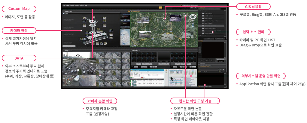
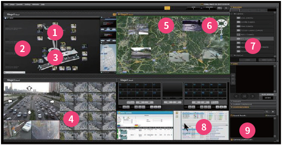
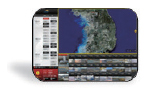
1 Custom Map
- Uses images, drawings
2 Camera Image
- Positioned at actual installation points and used for holistic monitoring
3 DATA
- Displays regular updates of key control information from external sources (water level, weather, traffic volume, machine conditions)
4 Camera Split Screens
- Fixed display of camera for main points (changeable)
5 GIS Commercial Use Map
- Interoperation with Google Maps, Bing Maps, and ESRI Arc GIS Maps
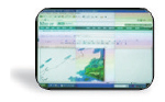
6 Input Source Management
- Fixed display of camera for main points (changeable)
7 GIS 상용맵
- List of camera and PC screens
- Displays screen through Drag & Drop
8 External System Managed Terminals
- Application screens displayed at all times (remote controllable)
9 Convenient Screen Configuration
- Freely splits screen
- Switches screens according to setup time
- Saves the layouts of specific screens

CM (Main operating server)
"Processes Integrated Control Activities in One Place"
Bulletin Board Control
- Unconstrained screen configuration
- Saves displayed scenarios
- Synchronizes with the bulletin board in real time
PTZ
- Intuitively controls from over camera images
(a set of controls are offered for separate control)
Alarm Response
- Automatically takes actions according to scenario when alarms are triggered (visual/audio effects, display of specific locations)
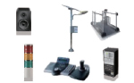
Equipment Control
- Controls a variety of IP and serial equipment, including TVs, audio, warning lights and flashes.
Remote Control
- Remotely controls PCs directly from the control screen
INNOWATCH Main Functions
- Preserves original camera image quality
- Accommodates discrete control elements such as PC screens, web and data
- Accommodates unlimited camera input
- Adjusts the bandwidth by automatically controlling video throughput according to what is displayed on screen
- Provides an effective operating environment for long distance transmissions
- Freely manages the bulletin board like a single screen
- Overwhelming image displaying capabilities (capable of displaying up to 400 channels simultaneously per monitor)
- Excellent simultaneous HD storage capabilities
- (36 channels for HD and 72 channels for SD)
- Freely edits GIS maps (Google, Bing, ESRI Maps) and drawings
- Completely incorporates images, PC screens and data into maps
- Displays multiple control sources in a single view
- Conducts control, alarm response, and equipment control in one place